Photogrammetry
Photogrammetry processes hundreds or thousands of images and combines them to create a 3D model.
Often, the photos are taken from a bird’s-eye view with a drone, which allows large areas to be captured accurately.
- Photogrammetry provides an accurate and quickly created 3D object.
- Execution time 2-7 days
- Photogrammetry is used in architecture, construction, archaeology, geodesy and virtual reality.

What is photogrammetry?
Photogrammetry is a technique that uses photographs to create accurate three-dimensional models by combining several photographs from different angles.
It is used in architecture, construction, archaeology, geodesy and virtual reality, providing efficient and accurate modelling.
Who is photogrammetry for?
Photogrammetry is designed to quickly and easily create accurate three-dimensional models of objects and sites in architecture, construction, archaeology, geodesy and virtual reality.
Why work with us?
Our extensive and long-standing experience in 3D solutions provides an excellent basis for accurate and high-quality services. We are keen to explore and apply unprecedented solutions, so we say "yes!" also for unusual projects. We make sure our customers are always satisfied and receive the very best.
8 year experience
Years of experience means knowing how to do a project best and most efficiently.
Latest technology
We work with the latest generation of 3D scanning technologies and software.
Fast execution
Experience and the latest technology ensure fast and accurate work.
Individual approach
We find the best solution for each specific project.
Process of the service
Step 1
The purpose of the model is understood.
Step 2
Capture a photo of an area or object with a drone or high-quality camera, capturing between a hundred and several thousand images.
Step 3
The images are recorded using special software to create a realistic digital copy of the object.
Step 4
Carry out necessary improvements, clean-up works.
Step 5
Depending on the purpose, the file is exported in the required format.
Get an offer for photogrammetry
If you have any questions or would like to know more about our services, book a free consultation!
Completed projects
View the projects we've already completed.

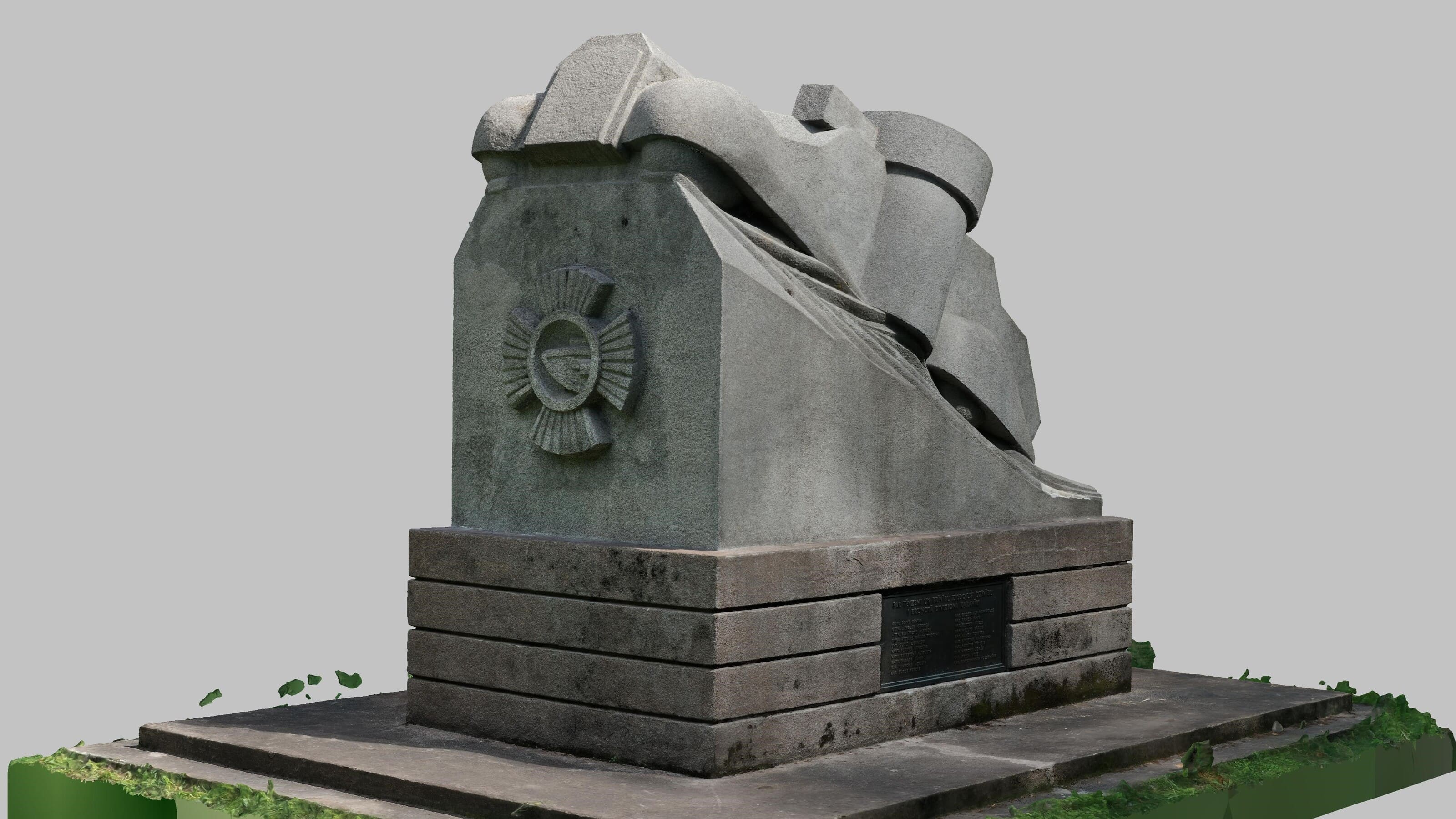
Photogrammetry of a monument

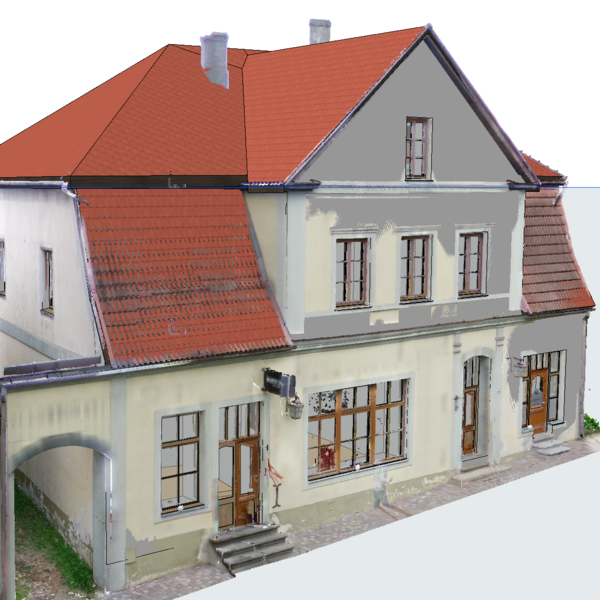
Rīgas iela 36, Cēsis

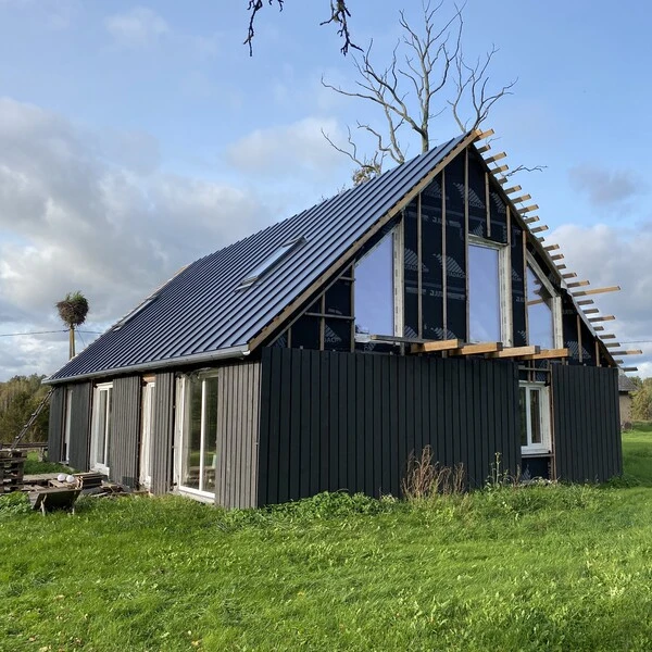
Country house in Kandava
This 3D mesh model of the building was created from 70 images using photogrammetry. The purpose of capturing such a building is to capture the three-dimensional volume of the building, which can then be compared with the rebuilt volume and volume calculations
Frequently asked questions
Find answers to frequently asked questions about Tekto’s services. If you don’t find the answer to your question – contact us.
When is photogrammetry used?
Is photogrammetry the same as 3D scanning?
What are the three types of photogrammetry?
What is terrestrial photogrammetry?
What is aerial photogrammetry?
What is oblique photogrammetry?
Which is better - LiDAR or photogrammetry?
What is the difference between photogrammetry and photography?
Who invented photogrammetry?
How many photographs are needed for photogrammetry?
How do I apply for a photogrammetry service or consultation?
Which locations do you offer photogrammetry?