Surveying
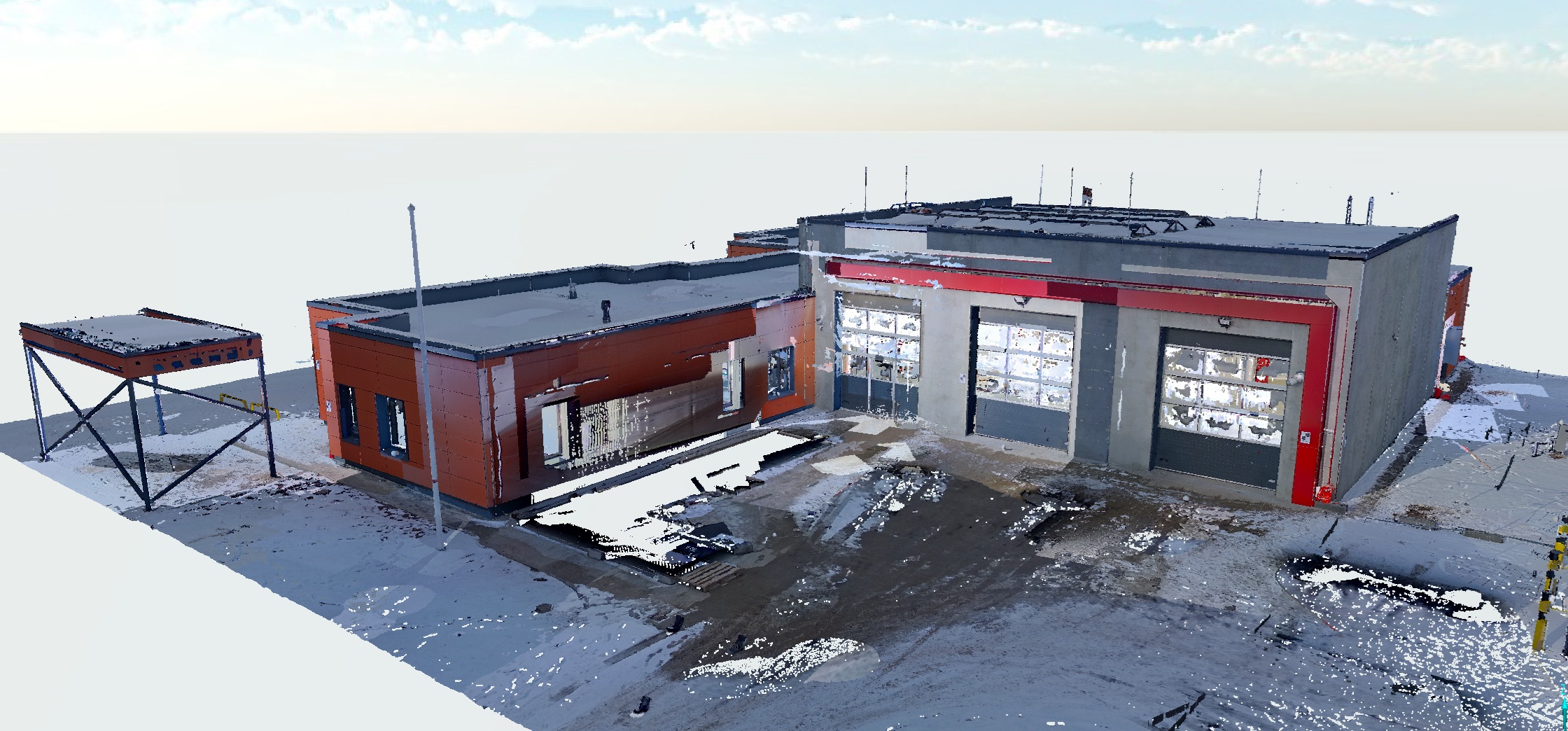
Surveying is the accurate and detailed measurement of land surfaces and objects, providing essential data for a wide range of engineering, construction, urban planning and environmental management projects.
- Accurate data on the site, land, object
- Lead time: 2-6 weeks
- Used in construction and engineering, land management, surveying, urban planning and planning, etc.

What is surveying?
Surveying is a branch of science and engineering concerned with measuring and mapping the earth’s surface and other natural or man-made objects.
Surveying provides data on land, buildings, roads, utilities and other objects.
Who is surveying for?
Surveying is relevant to a wide range of sectors, including construction, land management, urbanisation, natural resource management and environmental protection.
Surveying is often used for title determination and documentation.
Why work with us?
Our extensive and long-standing experience in 3D solutions provides an excellent basis for accurate and high-quality services. We are keen to explore and apply unprecedented solutions, so we say "yes!" also for unusual projects. We make sure our customers are always satisfied and receive the very best.
8 year experience
Years of experience means knowing how to do a project best and most efficiently.
Latest technology
We work with the latest generation of 3D scanning technologies and software.
Fast execution
Experience and the latest technology ensure fast and accurate work.
Individual approach
We find the best solution for each specific project.
Get an offer for surveying
If you have any questions or would like to know more about our services, book a free consultation!
Completed projects
View the projects we've already completed.
Frequently asked questions
Find answers to frequently asked questions about Tekto’s services. If you don’t find the answer to your question – contact us.
Why is surveying necessary?
What are the surveying methods?
How is land surveying done?
How long does the surveying process take?
What is cadastral surveying?
Is surveying required before construction starts?
How is topographic surveying done?
How do I apply for a surveying service or consultation?
Where do you offer surveying services?
