Aerial surveying
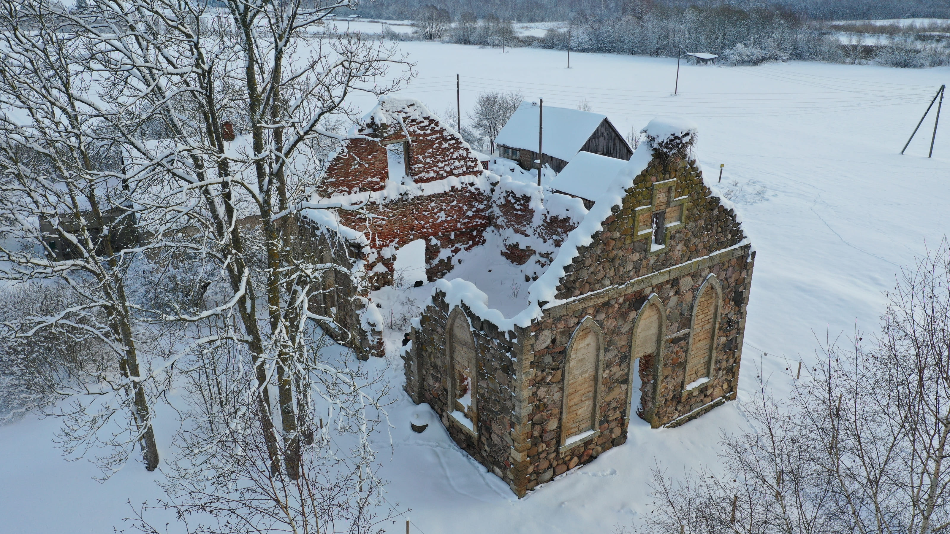
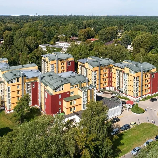
Aerial surveying is a modern and efficient way to obtain detailed and accurate data about the earth’s surface and objects using aircraft such as drones.
This technology allows large-scale measurements to be made quickly and accurately, providing high-resolution images and 3D models.
- An accurate 3D model of a very large area
- Takes 2-5 days
- Used for creating accurate maps and topographic models, natural resource management, farmland analysis, urban planning and more.

Why work with us?
Our extensive and long-standing experience in 3D solutions provides an excellent basis for accurate and high-quality services. We are keen to explore and apply unprecedented solutions, so we say "yes!" also for unusual projects. We make sure our customers are always satisfied and receive the very best.
8 year experience
Years of experience means knowing how to do a project best and most efficiently.
Latest technology
We work with the latest generation of 3D scanning technologies and software.
Fast execution
Experience and the latest technology ensure fast and accurate work.
Individual approach
We find the best solution for each specific project.
Get an offer for aerial surveying
If you have any questions or would like to know more about our services, book a free consultation!
Completed projects
View the projects we've already completed.

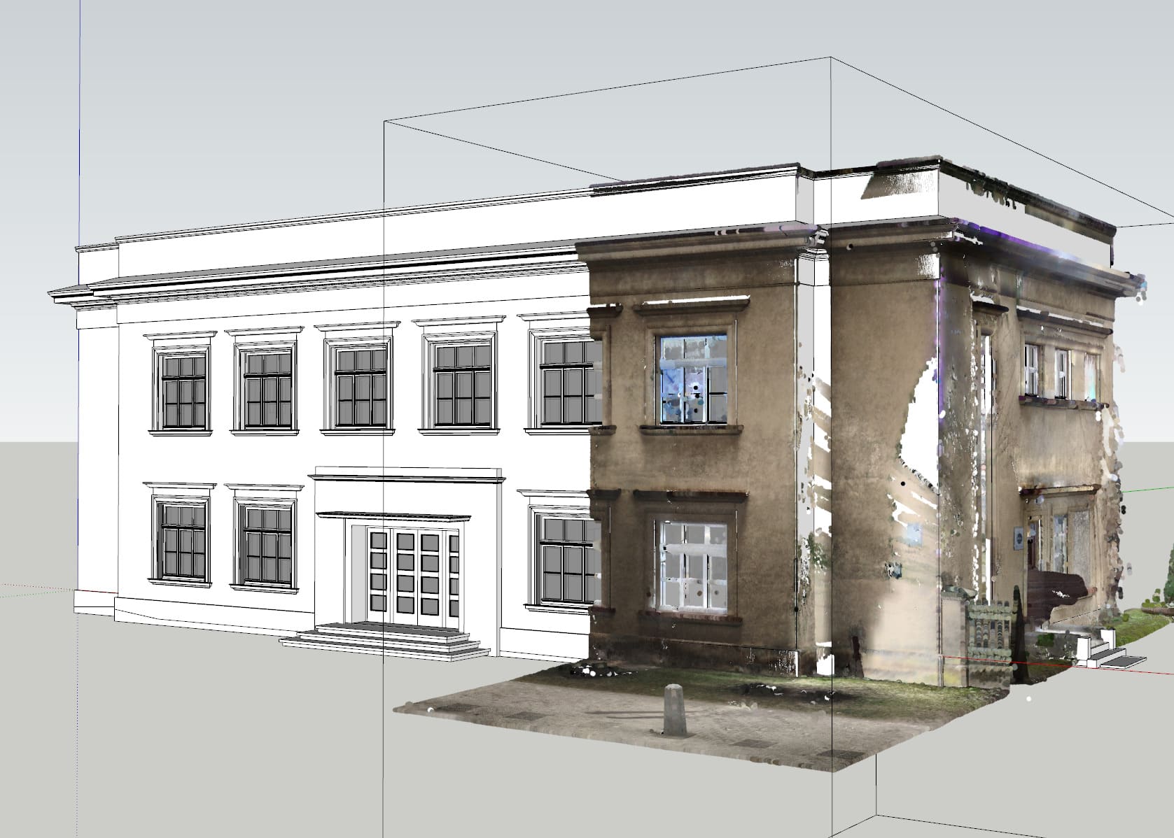
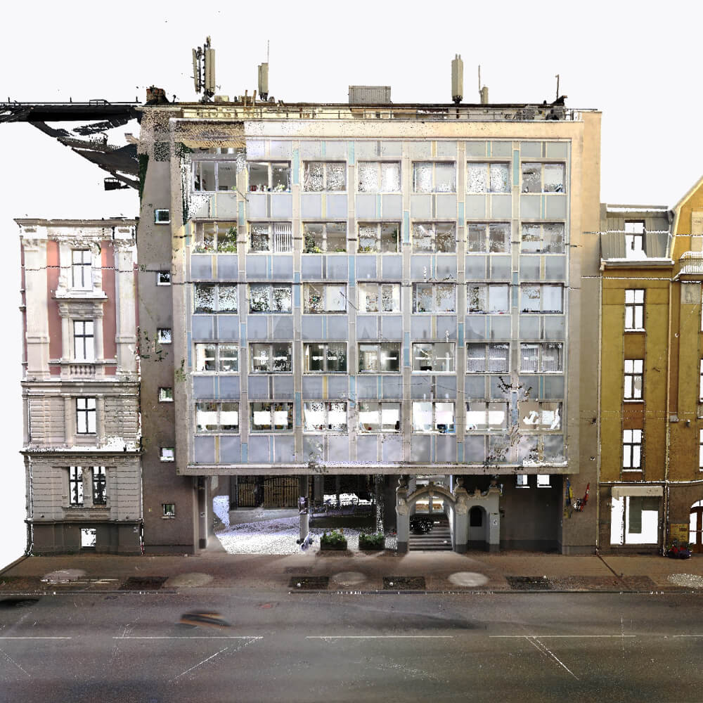
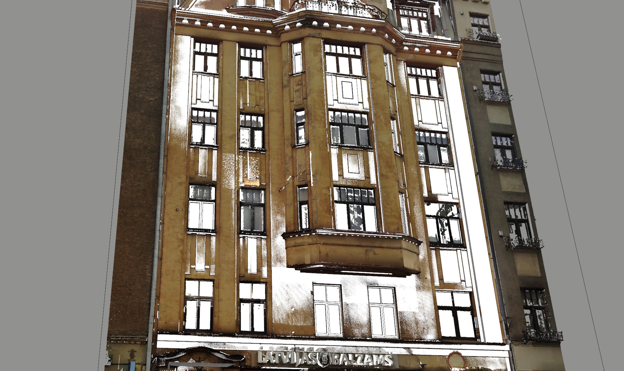
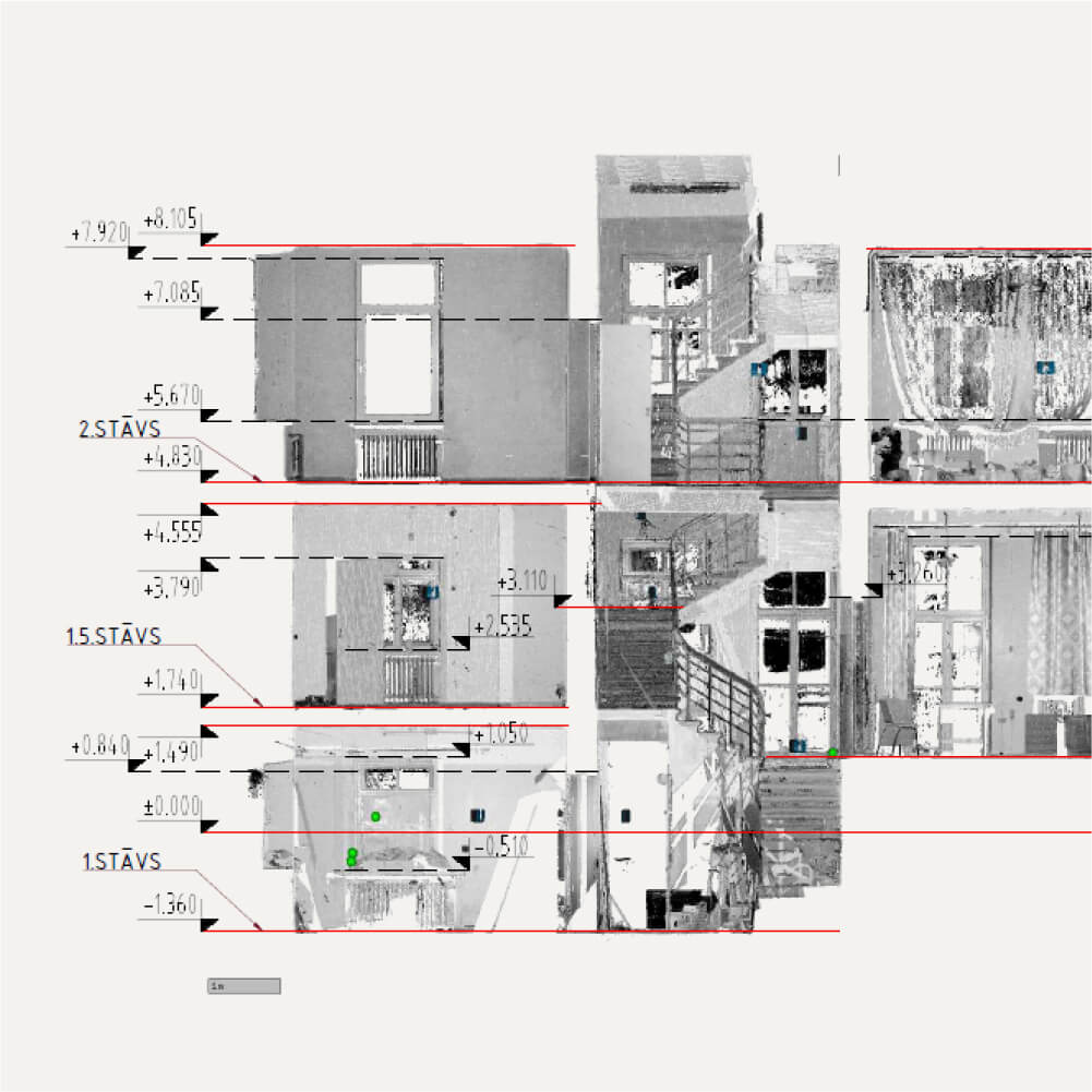
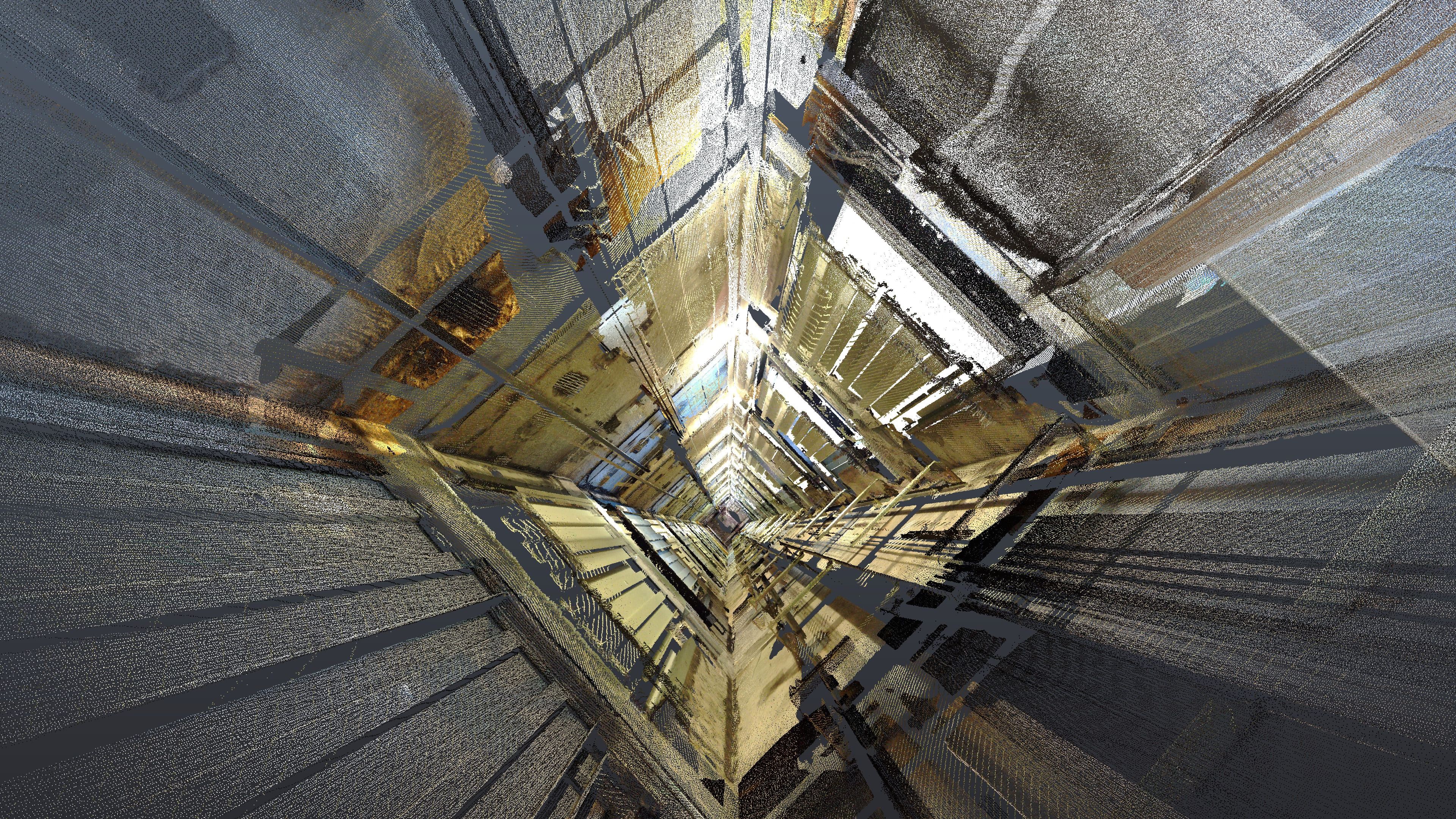
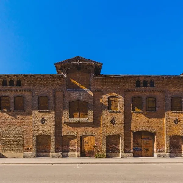
3D laser scanning of the University of Latvia’s interior and facade
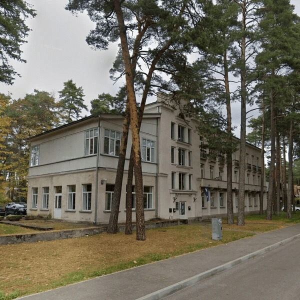
Full 3D scanning of the central building of the University of Latvia, total scanning volume was ~15 000m2.
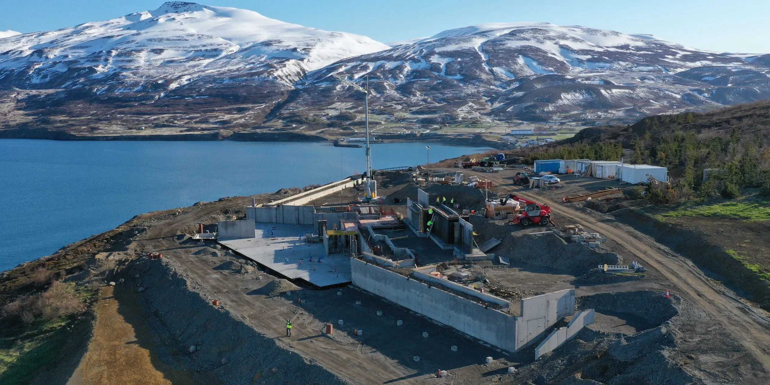
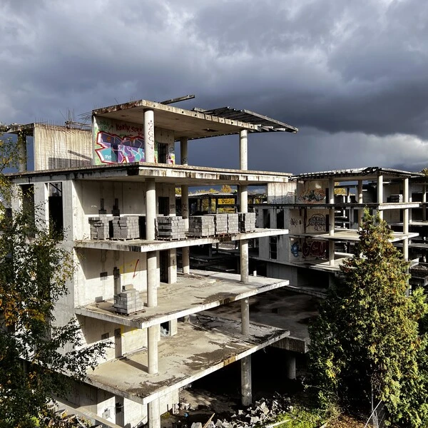
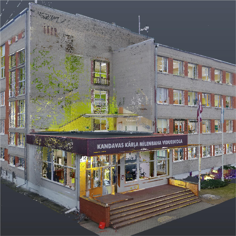
3D Laser Scanning at Hofdi Lodge Hotel, Iceland
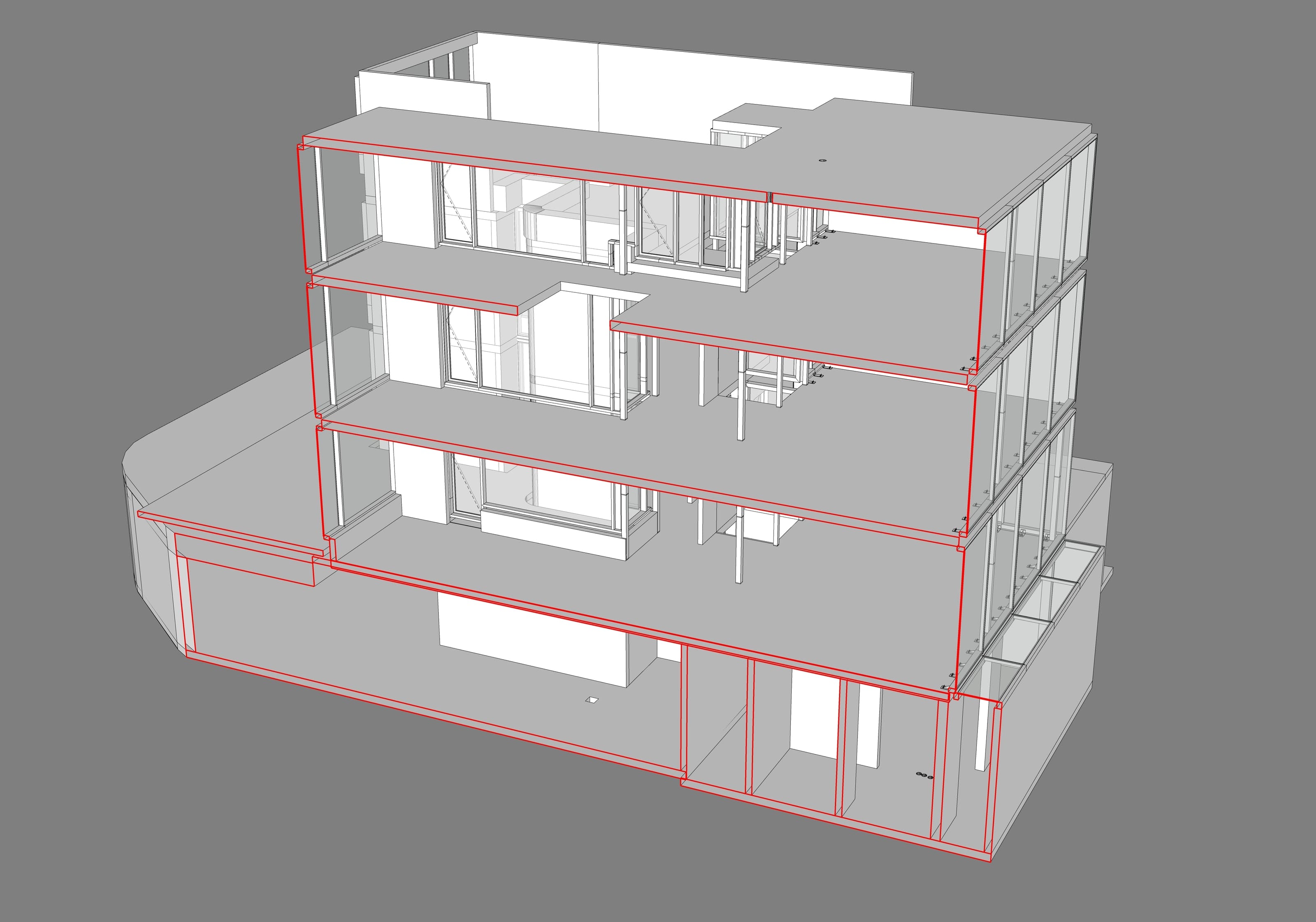
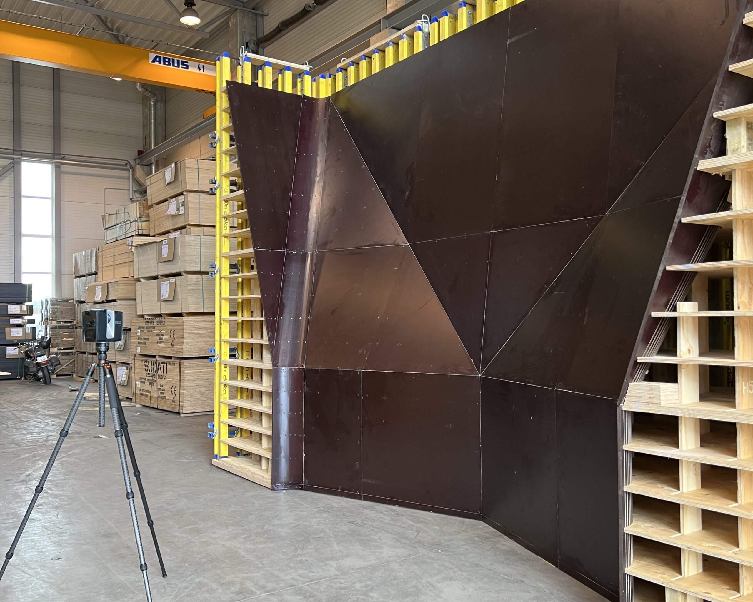
3D laser scanning of a building for the construction of concrete structures for a hotel complex. The work was carried out to assess the compliance of the as-built volume with the design.
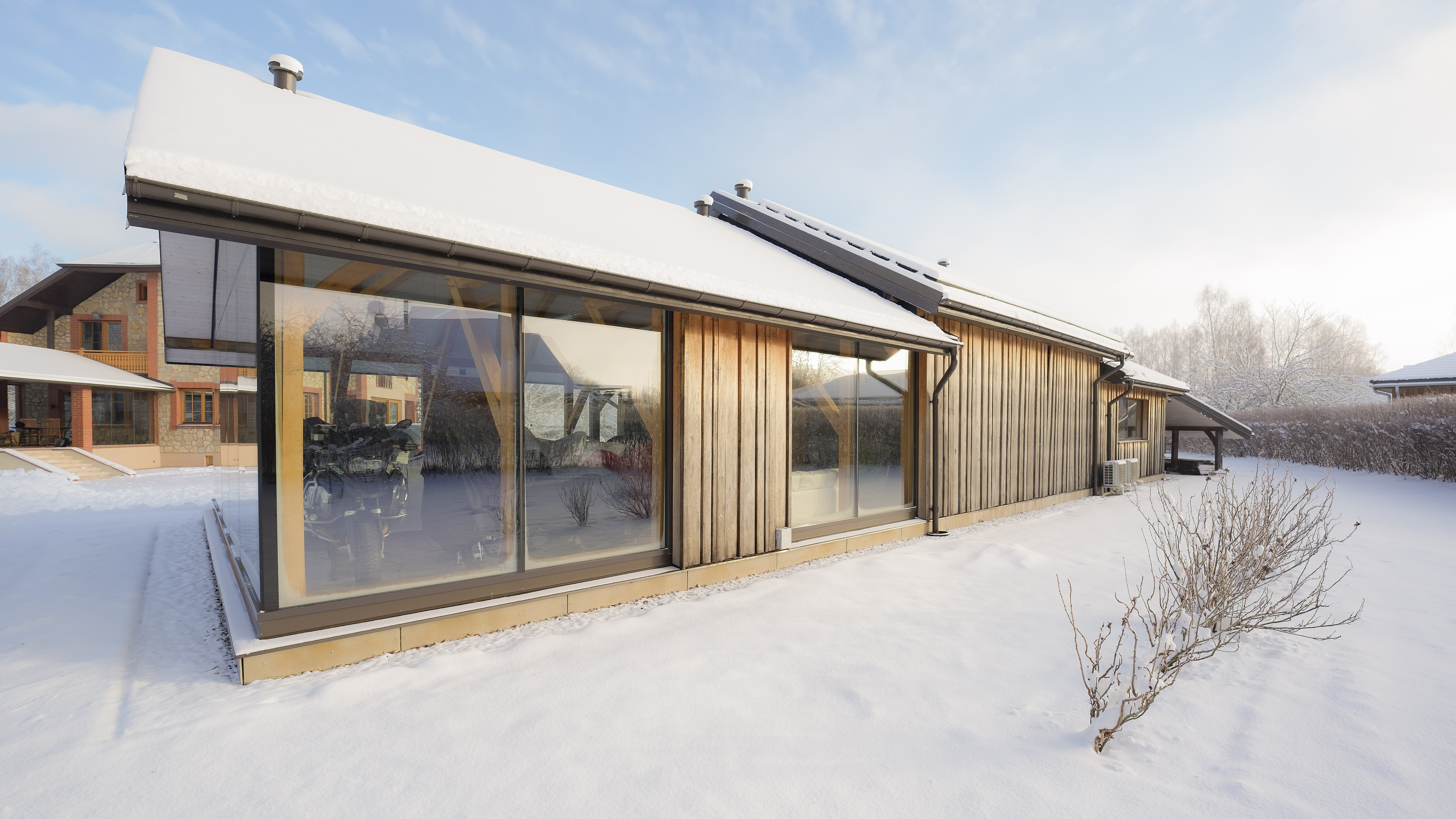
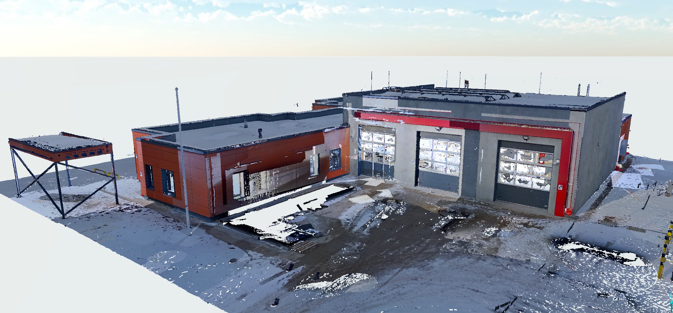
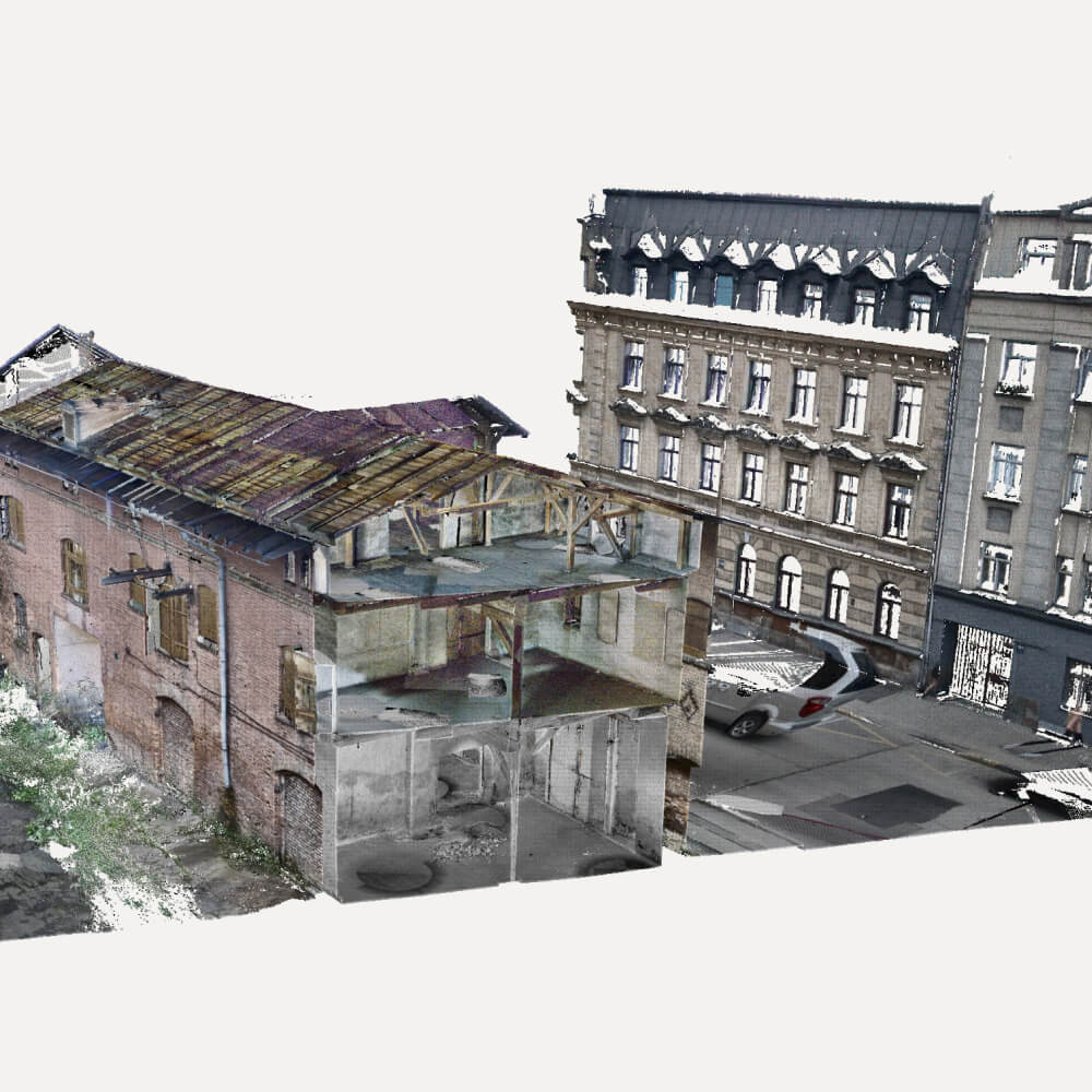
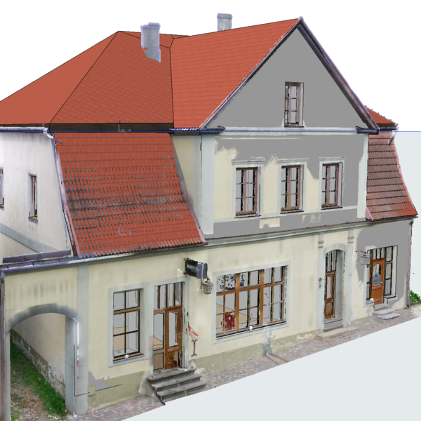
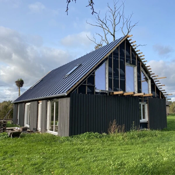
Farm house. Laser scanning and model preparation
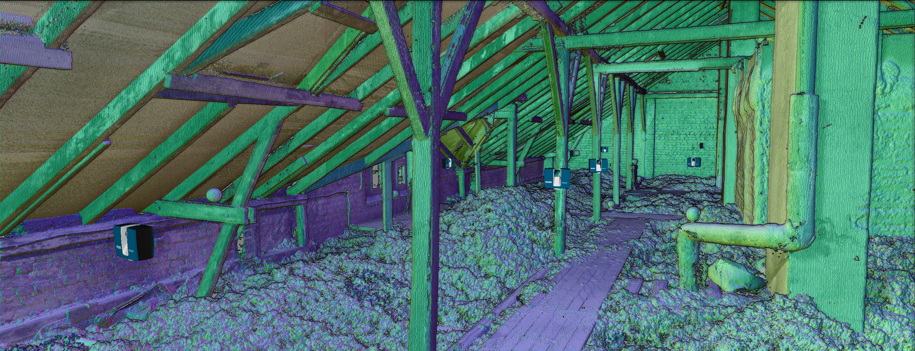
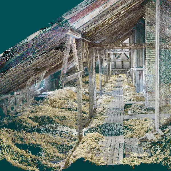
The surveying process for such a building takes about 2 hours, fully surveying both inside and out. This is followed by processing and registration of the measurements, and finally a point cloud that can be used for design, 3D modeling, measurements, and other tasks that do not require re-surveying the building.
Frequently asked questions
Find answers to frequently asked questions about our services. If you don’t find the answer to your question – contact us.
What data can be obtained by aerial surveys?
What are the advantages of aerial surveying compared to traditional surveying methods?
Which industries use aerial surveys?
How accurate is aerial surveying?
How is the aerial survey carried out?
What are the applications of aerial surveys in agriculture?
Can aerial surveys be carried out in all weather conditions?
How do I apply for an aerial survey or consultation?
Which locations do you offer aerial surveys?
